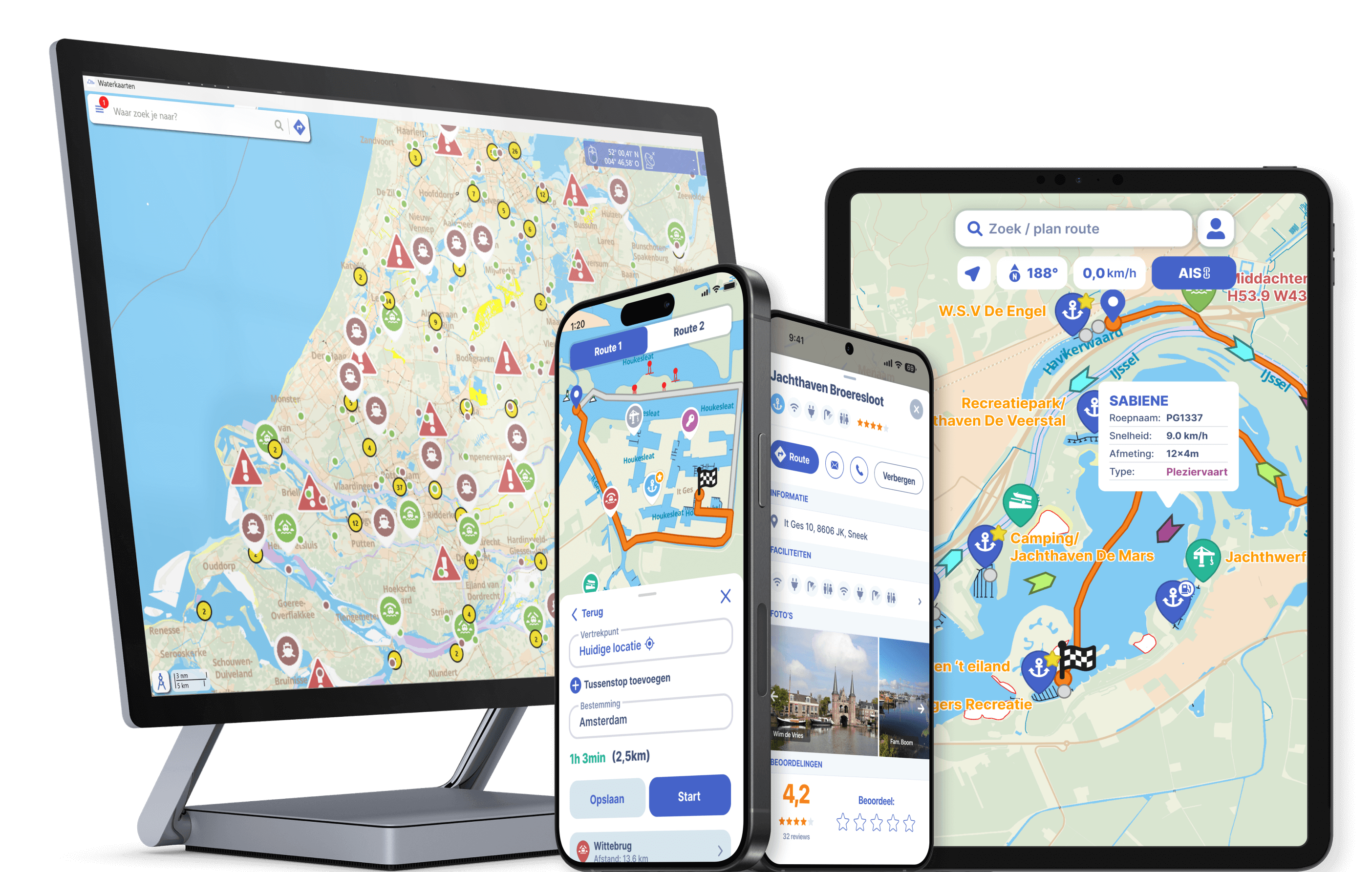
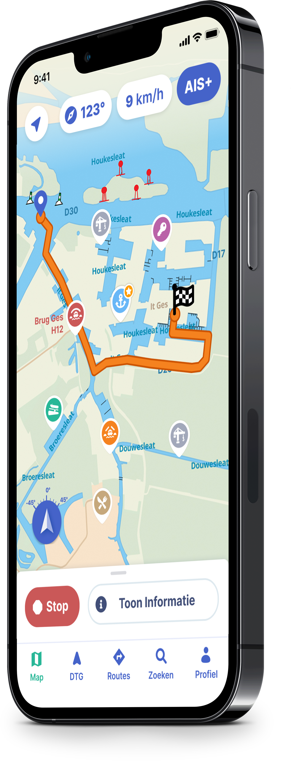
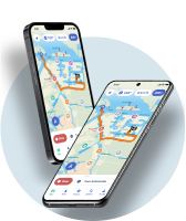
Routes and route planner
Easily plan the best boating routes and prepare your trip in the best way possible.
- Wide coverage in Europe with detailed charts for cruising at home and abroad
- Easily plan your route automatically or manually with our route planner
- Record your route as you go, including the Points of Interest you encounter along the way
- Quickly find alternate routes from your starting point or to your destination
- Import routes in .KMZ and .GPX format, and share your routes with others

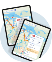
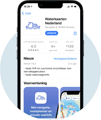
Nautical maps of 12 countries for one price

Nautical charts and navigation
Always know where you are and where you are heading with Waterkaarten on board.
- Get on the water with maps of the UK and Ireland, Netherlands, Germany, France, Belgium, Denmark and Switzerland in one app
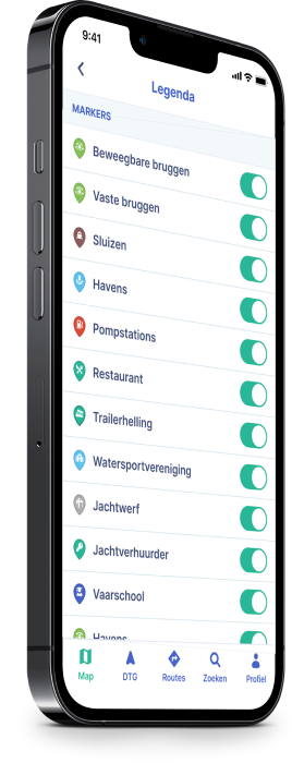
- Easily search our wide range of over 200.000 nautical objects, 3.500 marinas and 13.500 bridges and locks
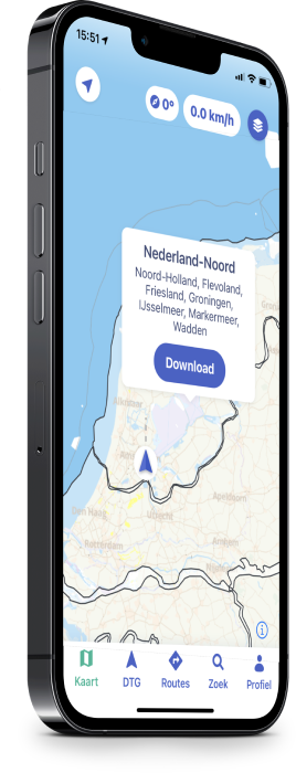
- Download the water charts for offline use and avoid surprises while sailing
- Stay informed with current boating reports and obstructions
- Get access to all our features and updates with a subscription to the app
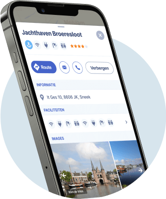

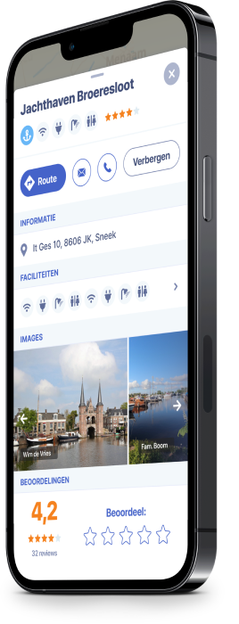
Nautical data
Hit the water prepared with all the info you need while boating.
- Access boating information with a few taps in the app
- Discover the most beautiful sailing areas, premium moorings and much more
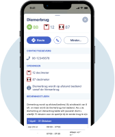
- Up-to-date info: never again a closed bridge or marina on your route
- Instantly see which bridges you can pass with the dimensions of your boat
- View photos and reviews from other boaters and post your own review or tip
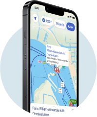
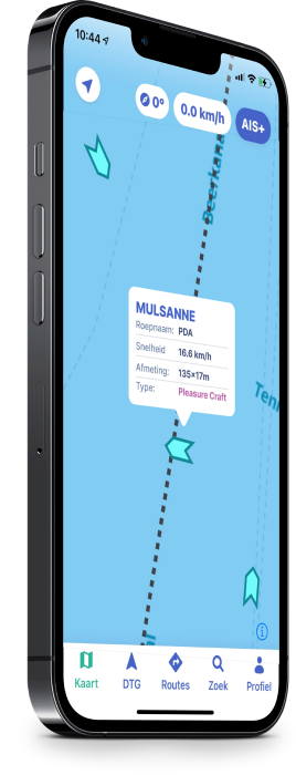
AIS
Sail more safely with an even better view of vessel traffic en route.
- Pair your AIS device with the app or activate the integrated AIS+ function
- See at a glance where surrounding ships are located
- Receive live AIS data and display your current position to other app users
- View real time data of AIS Class-A and B vessels, such as size, position, course, speed and MMSI
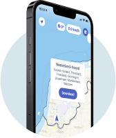
Download the water maps for offline use
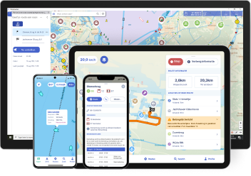
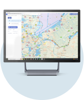
Devices and system requirements
Enjoy a seamless experience with the best of Waterkaarten on every screen.
- Use the app with the same account on up to 3 different devices (Apple, Google and Windows)
- Get the Windows version for free with your (trial) subscription

Personalisation and service
Experience Waterkaarten the way you like and get in touch with us directly with any questions.
- Show or hide area info, POI details and AIS data on the nautical map
- Customise your map view as you wish
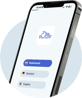
- Set the language in the app to English, Dutch or German for an even better experience
- Customer service 7 days a week and personal advice via support@waterkaarten.app