We have fully integrated almanack information into the maps in the app.
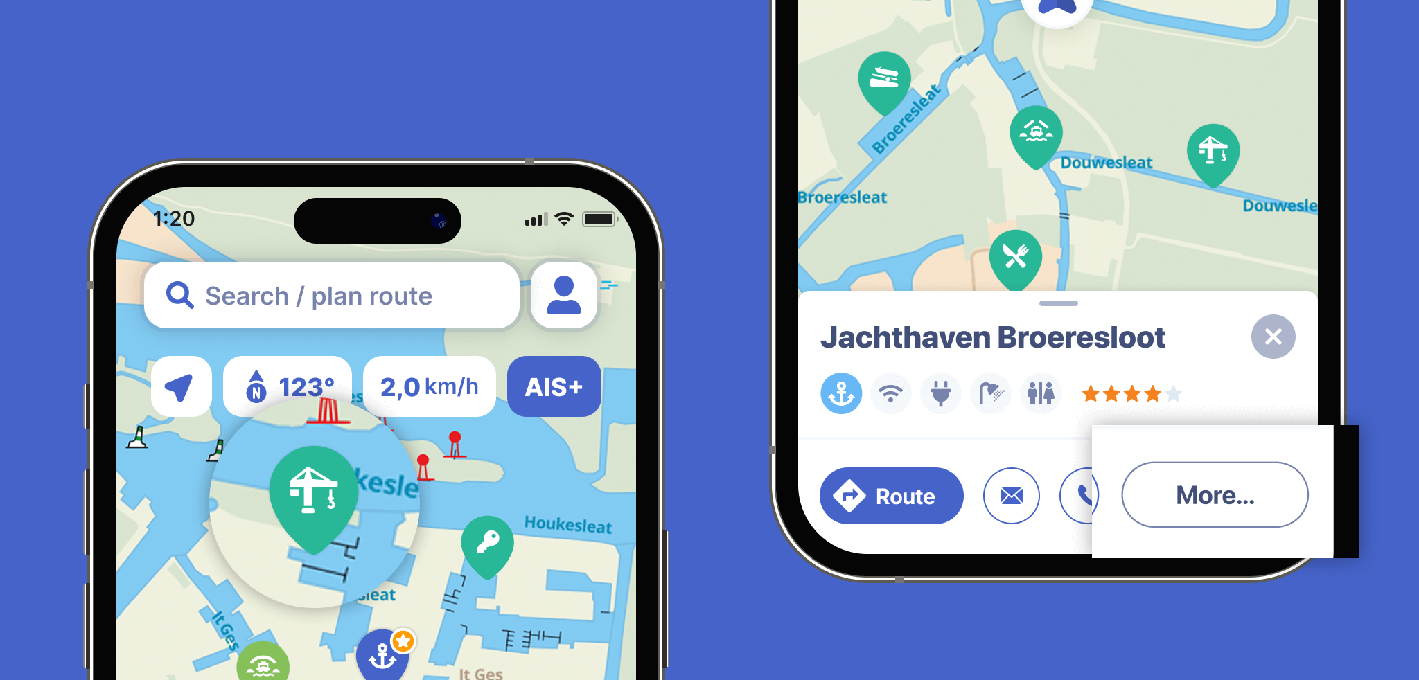
For example, the map shows so-called useful locations (POIs) such as bridges, harbours, locks and many more. Tap the POI icon for more information about this POI. Pull up the window or tap ‘More…’ for more information, such as opening hours, rates, and so on. If we know the phone number or email address of the POI, we will display it here and you can contact the POI directly from the app.
On this screen (‘Map’) you can also tap the ‘Route’ button to plan a trip to your chosen point.
You can find information about waterways by using the search function in the app.