


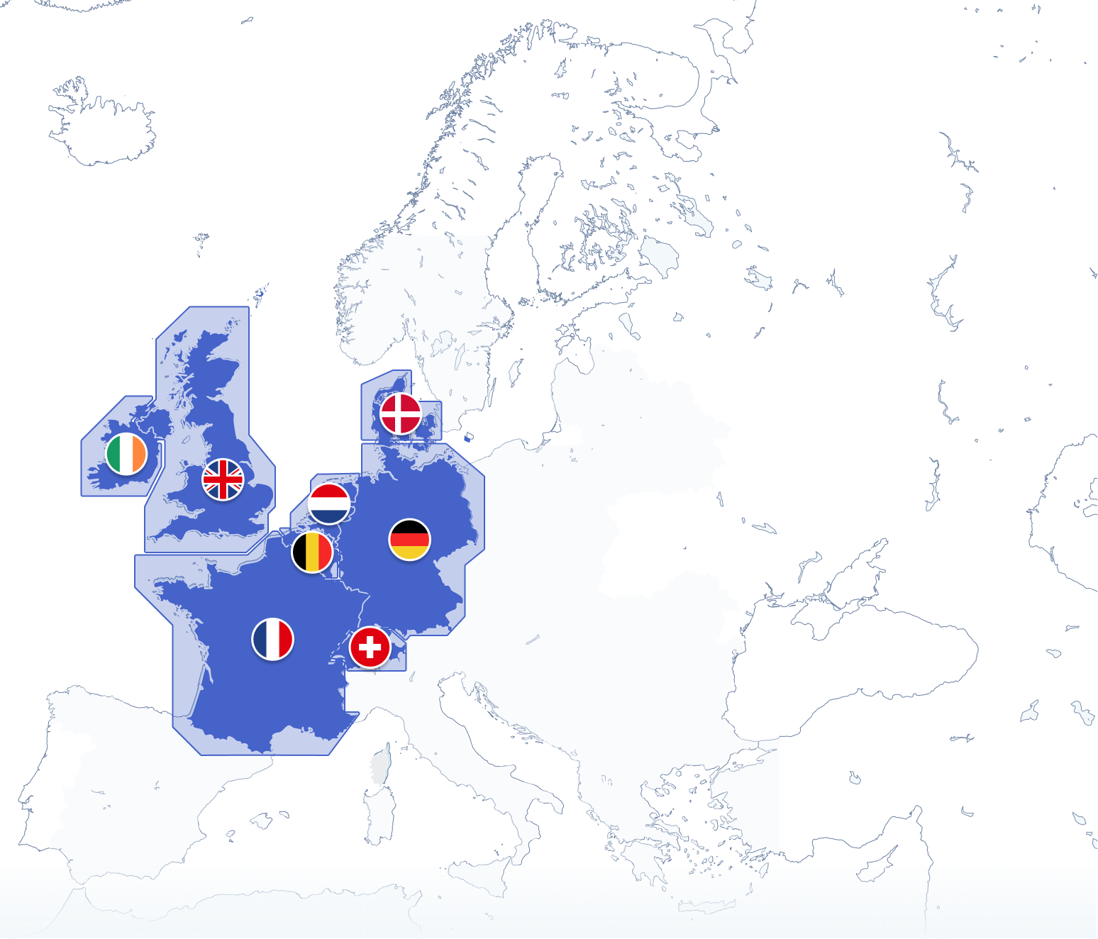
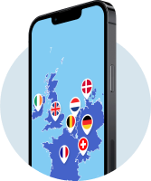
Maps and coverage
Full-fledged with 12 countries for one price
Wide coverage in Europe with detailed charts for all your cruising at home and abroad.
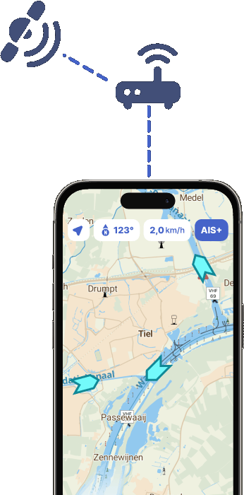
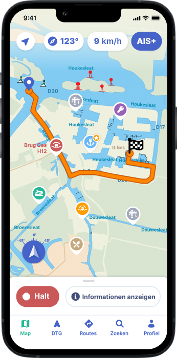
AIS
See and be seen with AIS
Pair your AIS device with the app or activate the integrated AIS+ function, and see marine traffic live around you.
Read more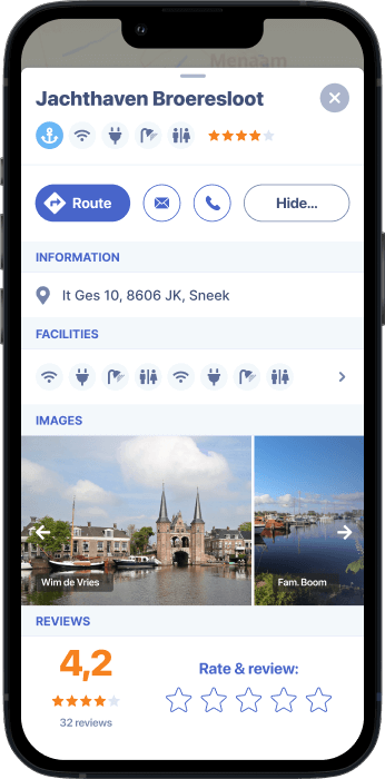
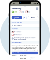
Almanack info
With all info on bridges, locks and marinas
With water maps of 12 countries, navigation, route planner, AIS+, sailing information, obstructions and more.
Discover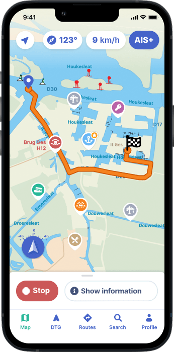
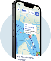
Route planner
Plan and navigate your route with one app
Easily plan the best boating trips, share routes with friends and discover alternate itineraries along the way.
Learn moreTry the first 7 days for free now
Discover Waterkaarten
Nautical maps of 12 countries
Marinas, bridges, locks and more
Current boating info and obstructions
Discover Waterkaarten
-
Nautical maps of 12 countries
-
Marinas, bridges, locks and more
-
Current boating info and obstructions